Map: Select Location
Overview
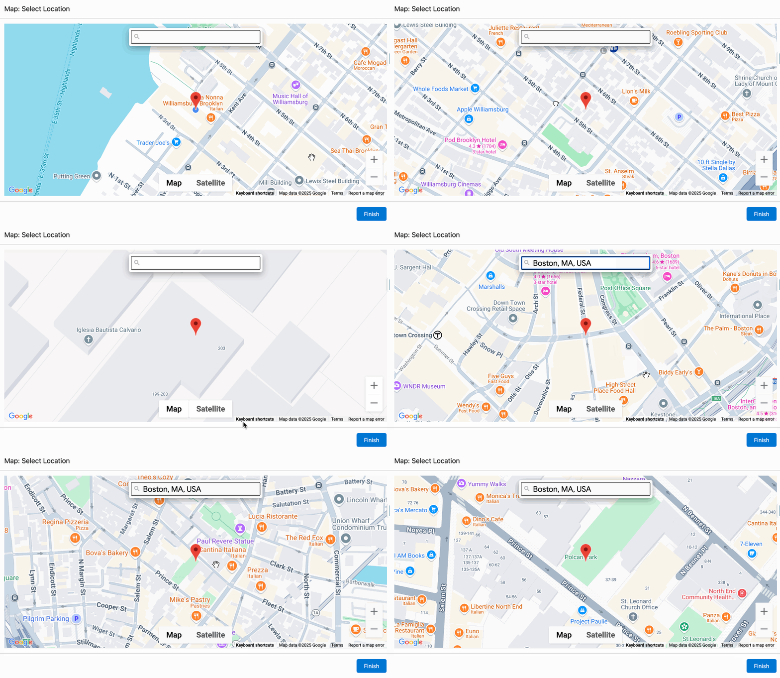
The Map: Select Location allows a user to select a location on a map and the coordinates will be set as output values in the flow.
Configuration Inputs
Disable User Location On Load
When the map loads, do not attempt to center the map on the users current location.
| Type |
|---|
| Boolean |
Map Height
The height of the map component in pixels. ie: 400px
| Type |
|---|
| Text |
Map Types
Comma separated list of map types to enable on the map. Valid values: roadmap, satellite, hybrid, terrain
| Type |
|---|
| Text |
Starting Latitude
The initial latitude to center the map on load.
| Type |
|---|
| Text |
Starting Longitude
The initial longitude to center the map on load.
| Type |
|---|
| Text |
Configuration Outputs
The Latitude and Longitude outputs are of the type Text. This is by design as number outputs in flows only provide a precision of three decimal places, which is not precise enough for latitude and longitude values. The VALUE() formula function can be used to convert the value to a precise number.
Latitude
The latitude of the selected location.
| Type | Variable Name |
|---|---|
| Text | latitudeAsString |
Longitude
The longitude of the selected location.
| Type | Variable Name |
|---|---|
| Text | longitudeAsString |